


Nepal’s minister says country’s updated map will be sent to India, Google and United Nations
The new map shows – Kalapani, Limpiyadhura and Lipulekh – within Nepalese territory.

The Nepal government will send its new political map that claimed Kalapani, Limpiyadhura and Lipulekh of Uttarakhand as part of its sovereign territory, to India, Google and the international community by mid-August, ANI reported.
The areas that Nepal has included in its map are at the centre of its border dispute with India. Nepal maintains that India has claimed these places by building the Darchula-Lipulekh link road despite repeated objections. India, on the other hand, has said that the road is within its territory.
“We will be sending the updated map including Kalapani, Lipulekh and Limpiyadhura to various United Nations’ agencies and the international community including India,” Minister of Land Management Padma Kumari Aryal told ANI.
The minister asked the country’s Department of Measurement to print 4,000 copies of the updated version of Nepal’s map in English and send it to the international community. At least 25,000 copies of the new political map, which was released on May 20, have been distributed around the country.
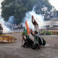
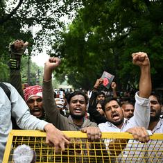
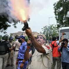
After the map was launched, India had asked Nepal to refrain from using it to assert its territorial claims. It had slammed the move as an “artificial enlargement” and not based on historical facts and evidence.
Nepal first revived its claim over the areas in November after India published a new political map. This was intensified on May 8 when Defence Minister Rajnath Singh inaugurated the Dharchula-Lipulekh link road.