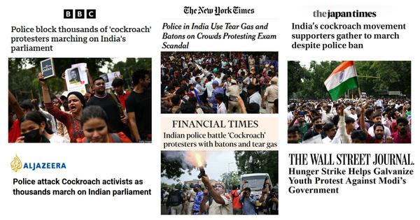
‘Smiling Modi tried to project an image of calm’: How foreign press reported on CJP protest
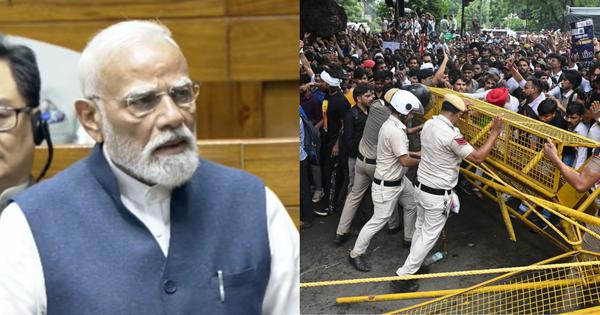
PM Modi says steps taken to prevent paper leaks as CJP demands Dharmendra Pradhan’s resignation
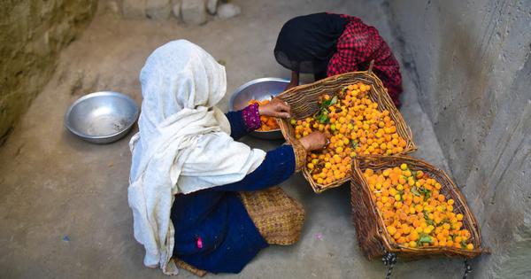
In Ladakh, climate change is raining on apricots, central to life and the economy
Cockroach Janta Party protest: How liberal scepticism induces paralysis in oppositional politics
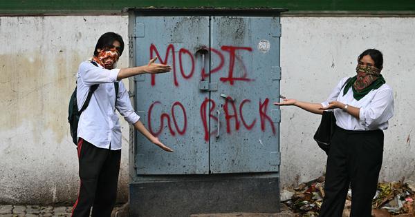
Why angry young protesters in Delhi have turned against Modi
Brand strategist Ambi Parameswaran reflects on the 1980-1990s, when ads focused on children
Updates: Protesters gather in central Delhi day after police crackdown on CJP march
Why tree cutting on Dehradun highway could upend the life of a community
‘Bol Bol Rani’ review: Sai Tamhankar prevents a mind game thriller from being a brain fade
Mumbai Police file FIRs against over 50 persons for CJP solidarity protest
Rush Hour: Rahul Gandhi detained outside PM house, Punjab farmers’ march halted and more
Maharashtra sets up panel to examine if STs who convert to other faiths should get quota benefits
Download the app to read our award-winning journalism on the go and stay up-to-date with our notifications.